


Mösern - Gschwandtkopf - Reith

VacheKiri67
User
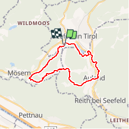

Length
12.7 km

Max alt
1484 m

Uphill gradient
481 m
Km-Effort
19.2 km

Min alt
1108 m

Downhill gradient
488 m
Boucle
Yes
Creation date :
2015-07-28 00:00:00.0
Updated on :
2015-07-28 00:00:00.0
5h02
Difficulty : Medium

FREE GPS app for hiking
 SityTrail
IGN / Geographical institutes
SityTrail Plus
The world is yours!
About
Trail Walking of 12.7 km to be discovered at Tyrol, Bezirk Innsbruck-Land, Gemeinde Seefeld in Tirol. This trail is proposed by VacheKiri67.
Description
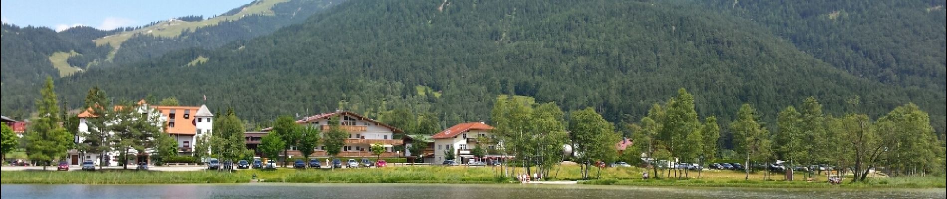
Faite le 20/07/2015 avec notre fils de 10 ans. Randonnée guidée gratuite proposée par Sport Aktiv et les Hotels de Seefeld.
Photos


Positioning
Country:
Austria
Region :
Tyrol
Department/Province :
Bezirk Innsbruck-Land
Municipality :
Gemeinde Seefeld in Tirol
Location:
Unknown
Start:(Dec)
Start:(UTM)
664725 ; 5243519 (32T) N.
Comments
Découverte de Seefeld.